The Kingdom of Lesotho, South Africa , where you can witness Ancient Builders of the past, let nothing stand in their way when it comes to developing the land.

This will be a long post , for the details and description , and not least , the importance of it , is as immense as the undertaking the people in the past need to be credited for. Bare with me as I go deep into the mystery of it.
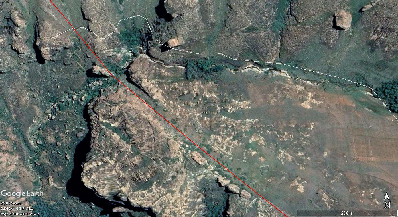
Note : I will call these pathways within post , even though I know they were with final results , hoping to just flatten all land , so all these are actually cuttings , not pathways. Full intention is always to flatten land , control waterways.
This is just one of many areas around the world where I can clearly demonstrate land development in the ancient past was done on a huge and magnificent scale, to a point, that not even a mountain or huge areas of rock would stop the progress of it being worked upon.
What is demonstrated and will be shown from this area , is direct paths that are clearly visible from the study of its placement on the land seen from above it all.
What you get to see going from a to b of a path in certain areas, show cutting’s right through huge rocky areas, as well as going up steep angles of cliff faces and over the edges and back up again on other side, as though nothing was a problem for whatever manner they used to create paths or cuttings of land.
In some areas you can see that whatever was used must have been very heavy , for some sections of the path do not end up being cut or dug in the ground , but end up creating ridges of hard packed land , which is clearly visible again through study of placement and path intended.
What you get to witness in this area I mapped, can be shown on many levels around the entire world, but this area by far is the best for presenting a great view of it being done.
I am going to provide a Google Map so you can see the areas if you wish. I am going to go through what I consider the best of the pathways created to show how some demonstrate age through erosion of land . I will show some that present the angles taken in the creation of the pathway. I will show a great deal of where you can see cuts through areas , as well as sections of same pathway turns into ridges to show difference of compacting land and how it looks. All of this once noticed , you can clearly start to understand how much land they actually were in control of and were working on , but for some reason stopped in past, that is a different topic.
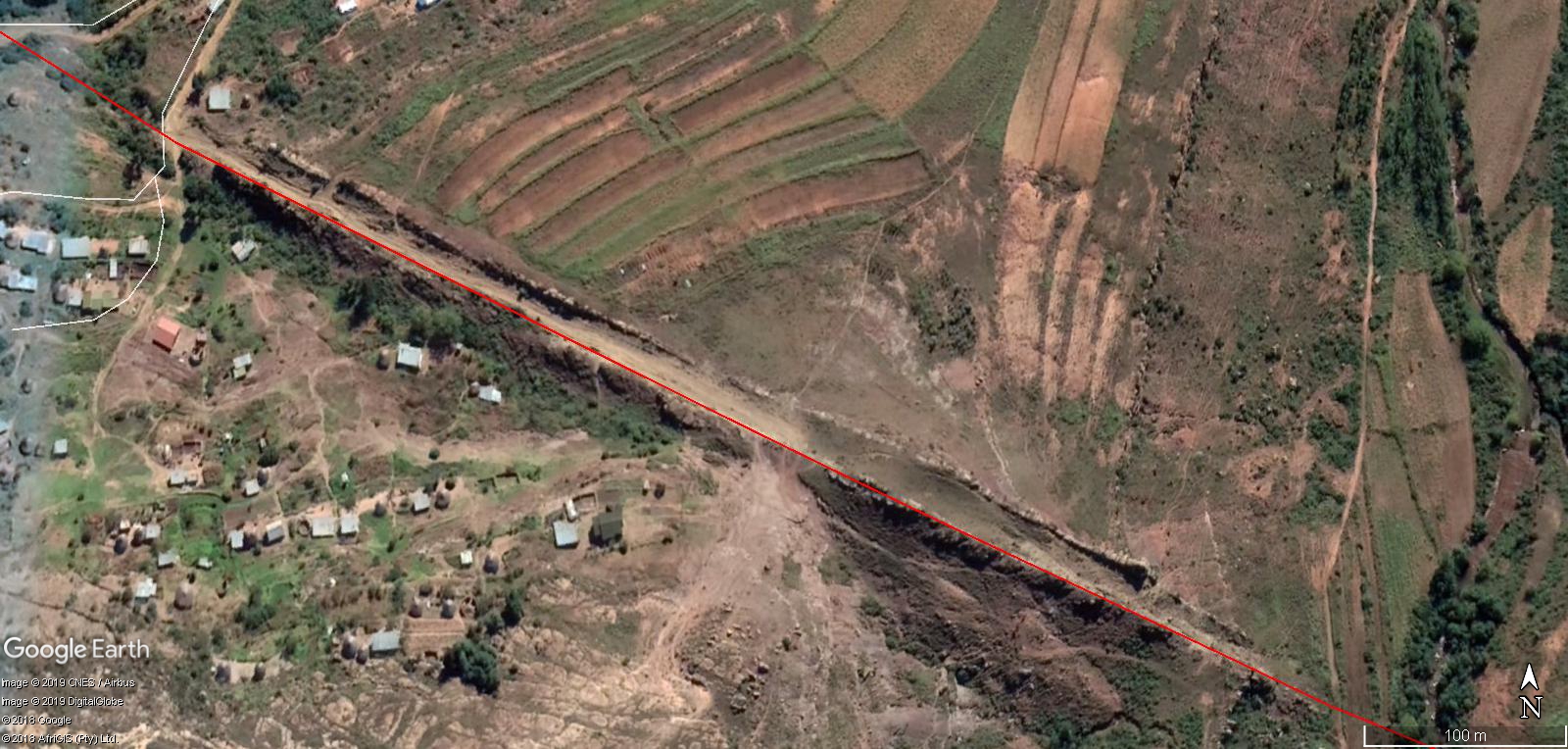
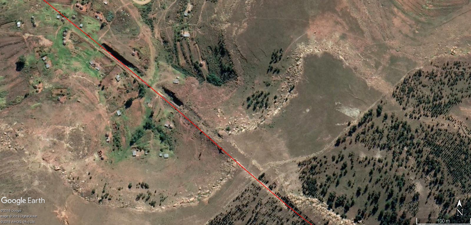
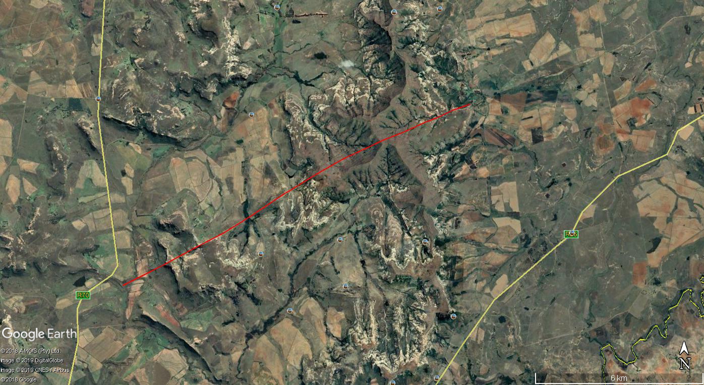
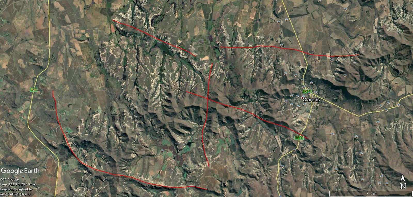
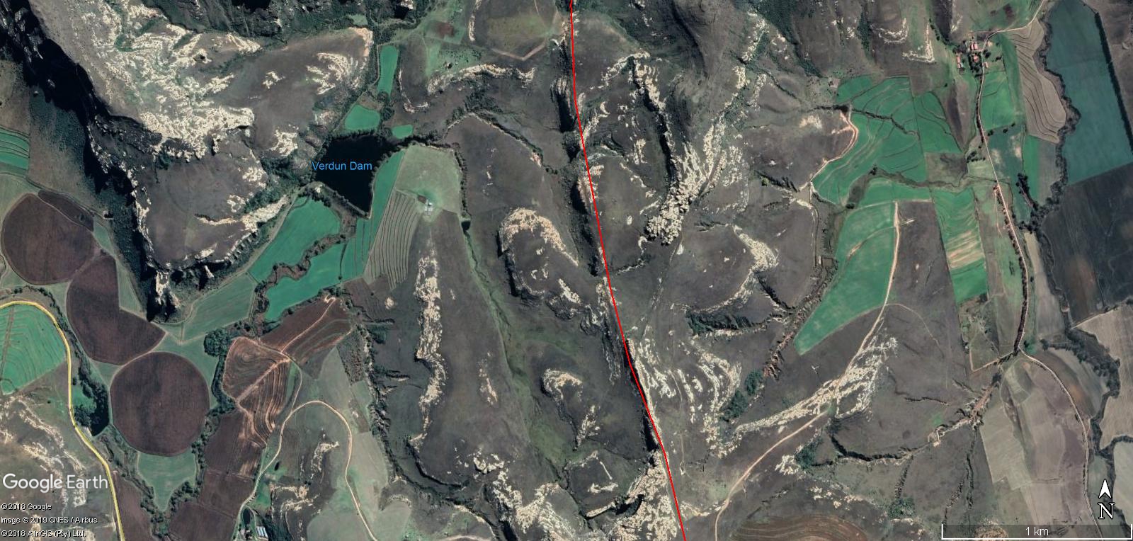
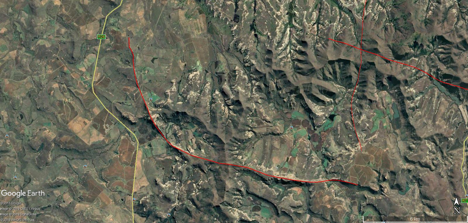
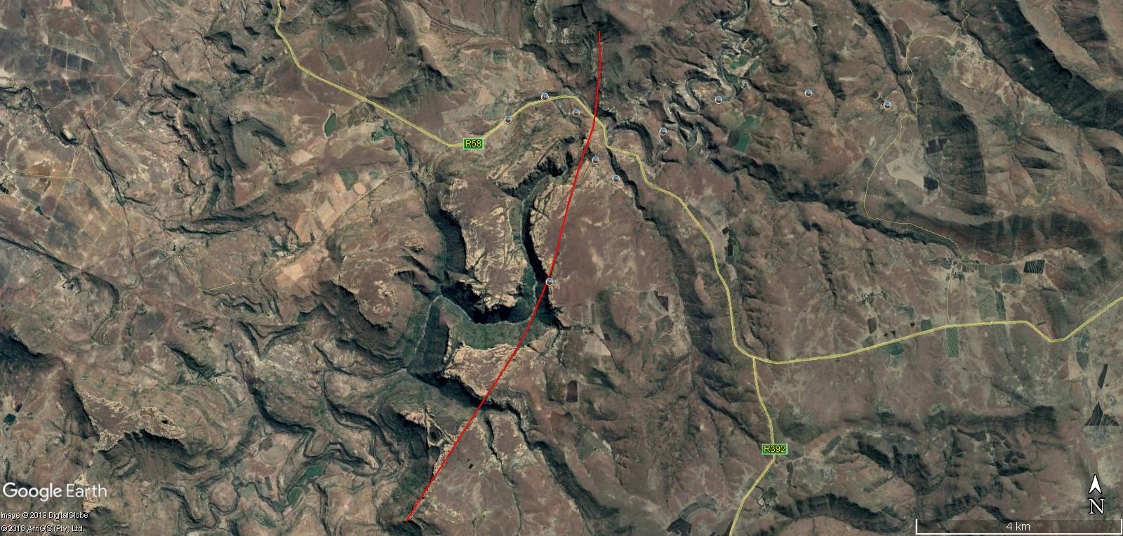
Within this Google Map of what are called Cuttings within Map , you will get to see many lines , or Pathways , I as call them also, going across many miles of the land without a care to what the terrain of land was like to work . Be it steep angles or deep ravine , or hard cluster of rocks or mountain was in the way , the pathway or cutting was main priority. As you will see , in those many miles created , some show they cut , and then because it did not , it created hard ridges of compressed land mass, but if followed in same direction understood being taken , you can see it further along cutting deep again in an area and this continues on and on and is shown in many areas of The Kingdom of Lesotho. Nothing stood in their way of trying to remove and flatten the land while controlling water to do it further.
As I present the images of the Pathways “Cuttings” , I will be describing main reason for why and present images to show how Ancient Builders of Africa manage to plow through anything it seems no matter how tough the terrain. Everything was planned and implemented in mostly a straight line, making anything in front , in the way.
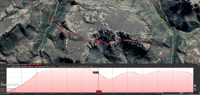
I am going to provide images from both Google Earth and Arcgis . I will show different views and elevation at times to show terrain difficulty and how straight forward they were working even though tough as could be to work. I will show as much as possible toward show they cut through rock , and how it changes to ridge to show weight must have accompanied whatever manner they used.
I will not present all Cuttings , just some that present points I want to make. I will at times remove line for a better view , while leaving at it at other times to present pathway. I will comment on some images to try and add explanation if meaningful area is shown in image of topic.
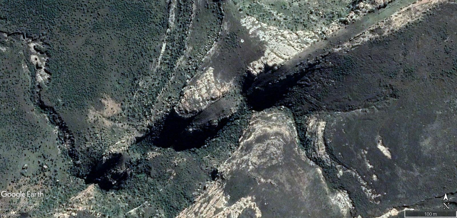
Cuttings 2 : Here you can see where they cut through rocky areas as though plowed and you leave material behind creating ridges on either side of area worked, and this is rock. This is just a basic cut like in most areas.


The rock on either side of this is not needed. 
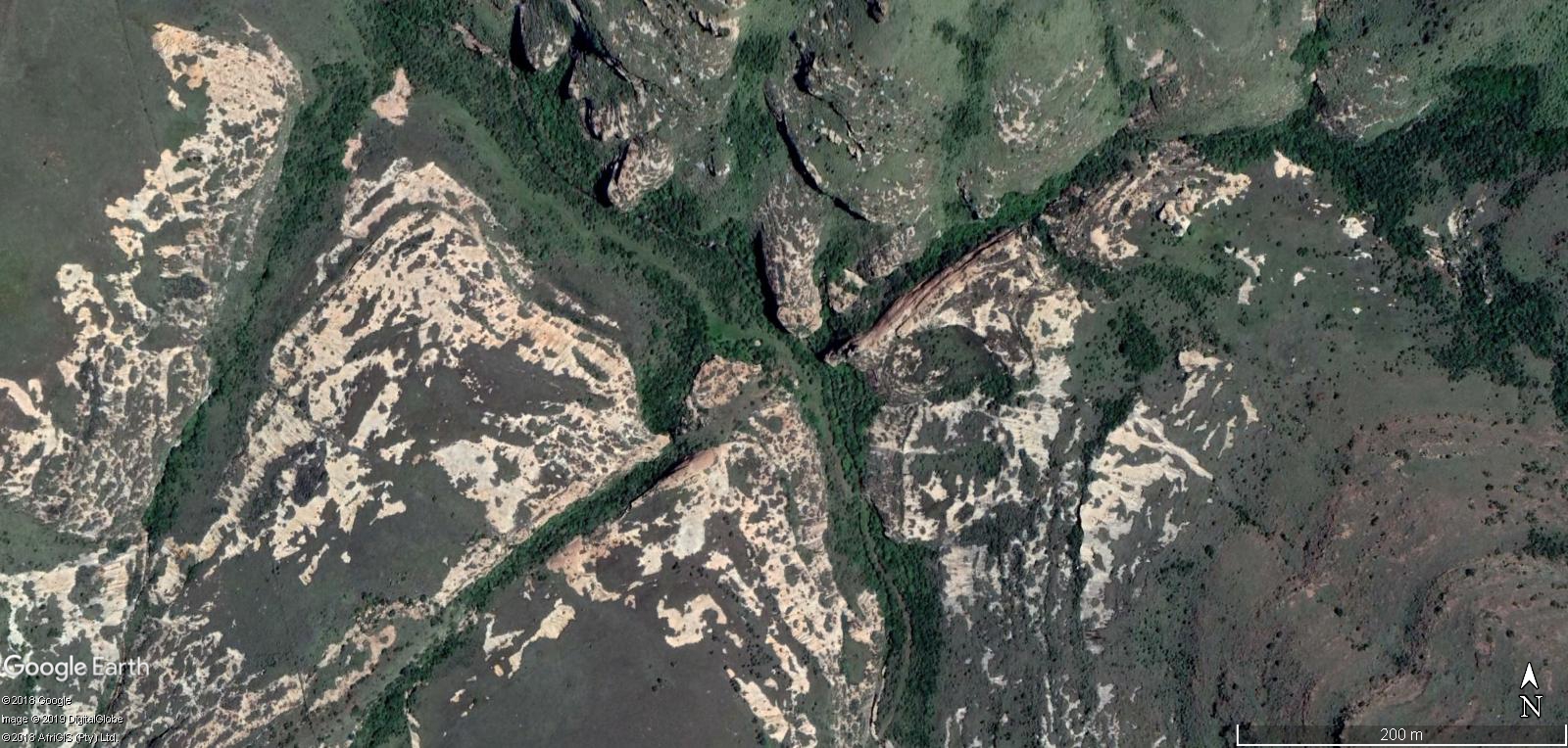
Cuttings 3 : A great area to show cutting through rock , as well as now being used for life in area. Also a great show of how deep they go in cutting deep in the land within certain areas.


We would have cut around.
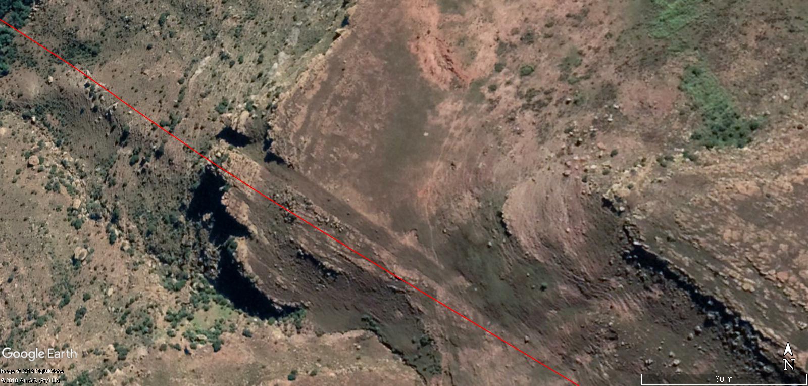
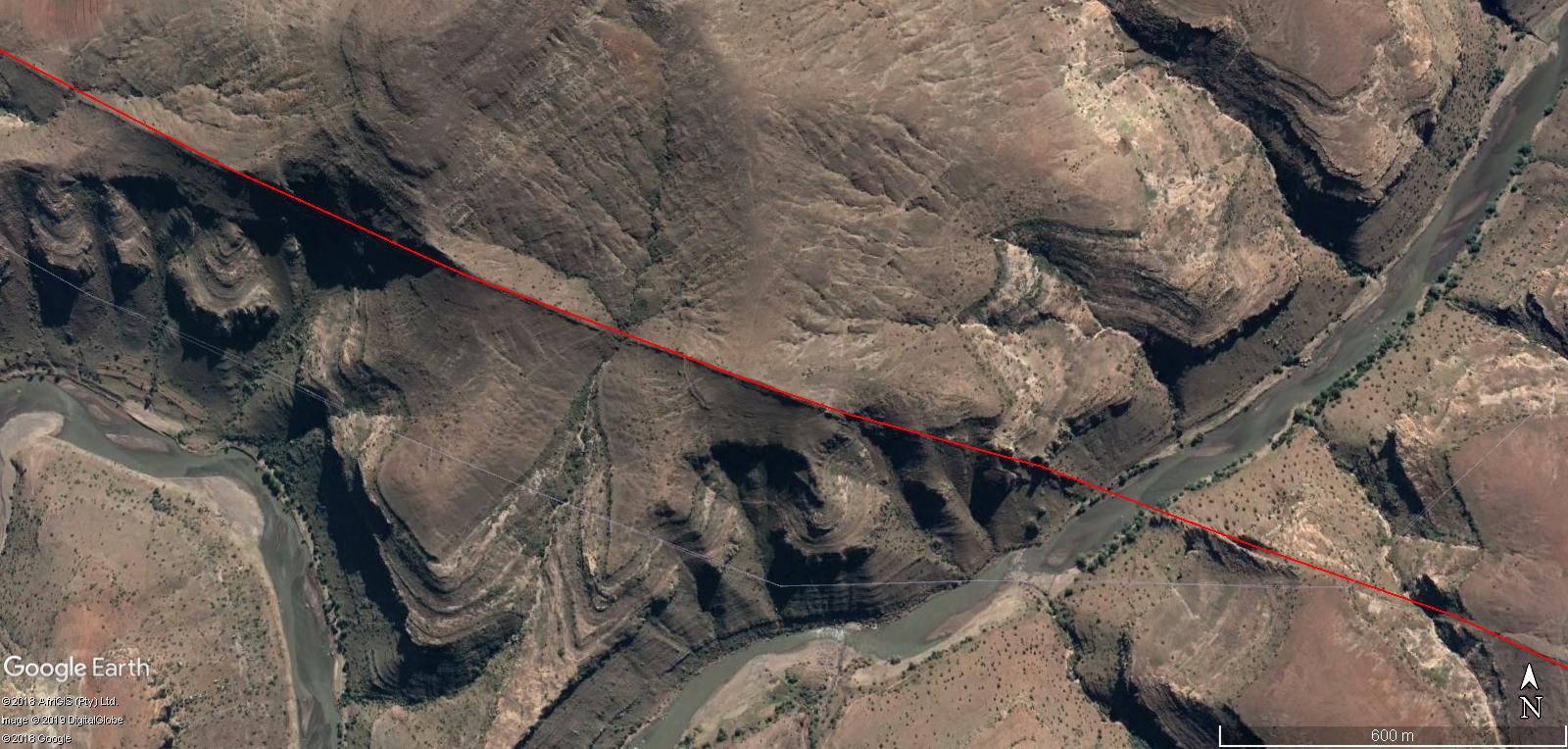
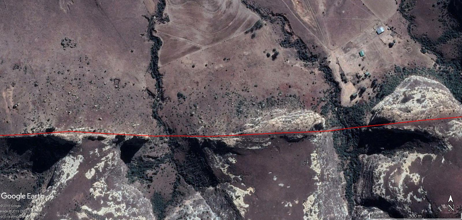
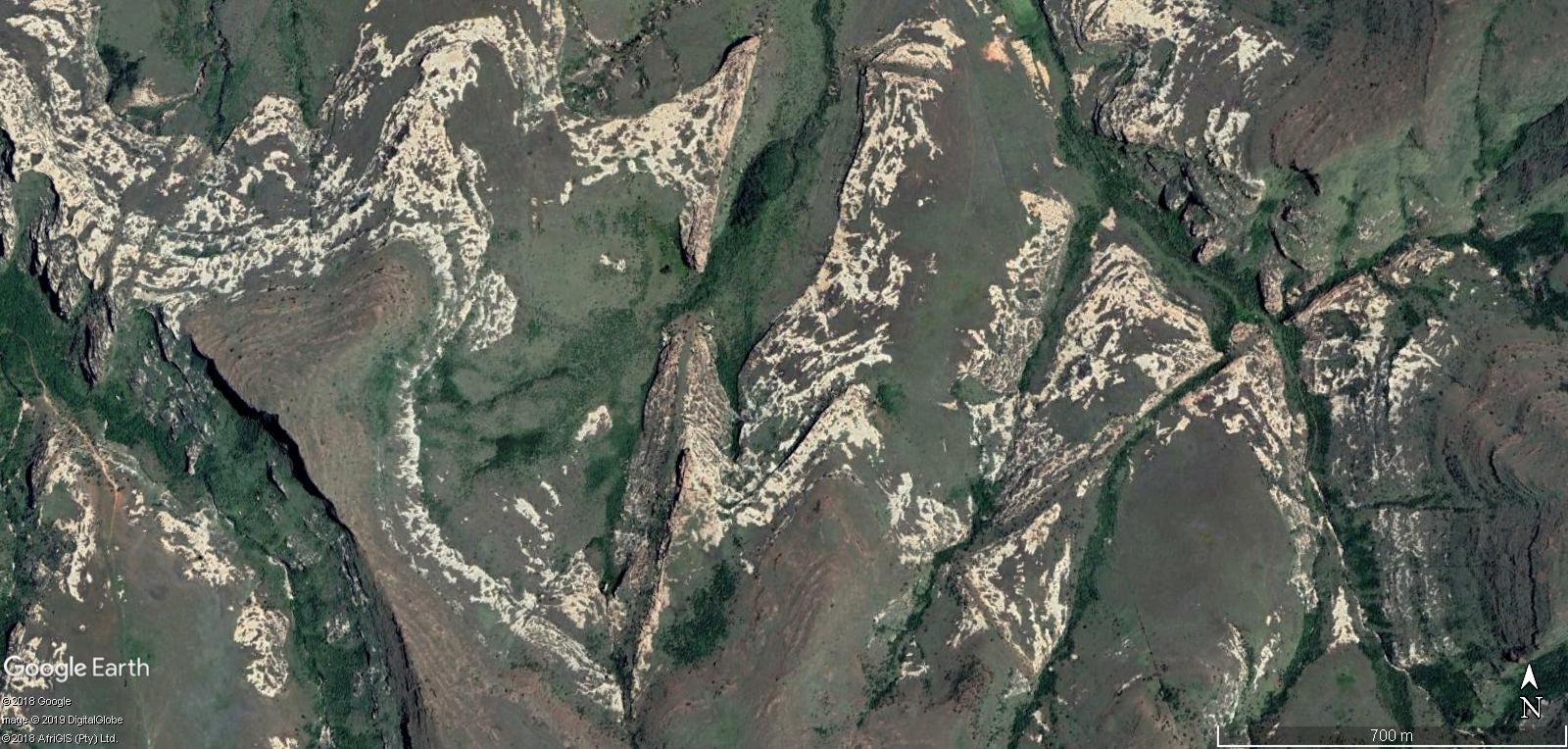
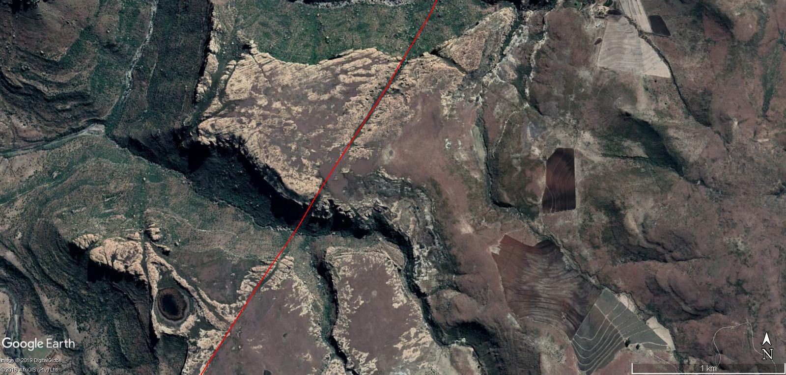
Cuttings 5 : This is where you get to see that the Pathway “Cuttings” , are going up and over cliffs and across the rivers without a worry of the angles of steepness in areas chosen or marked to be worked. Basically , wherever was ordered to be worked or marked with a fine line, which can be shown from previous markings on land , they then proceeded to cut areas.

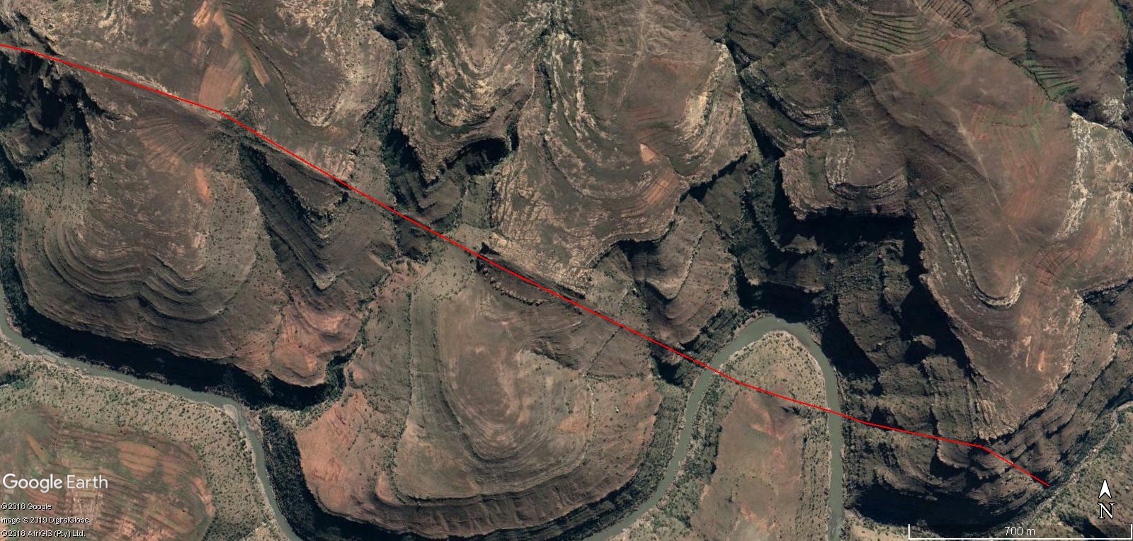


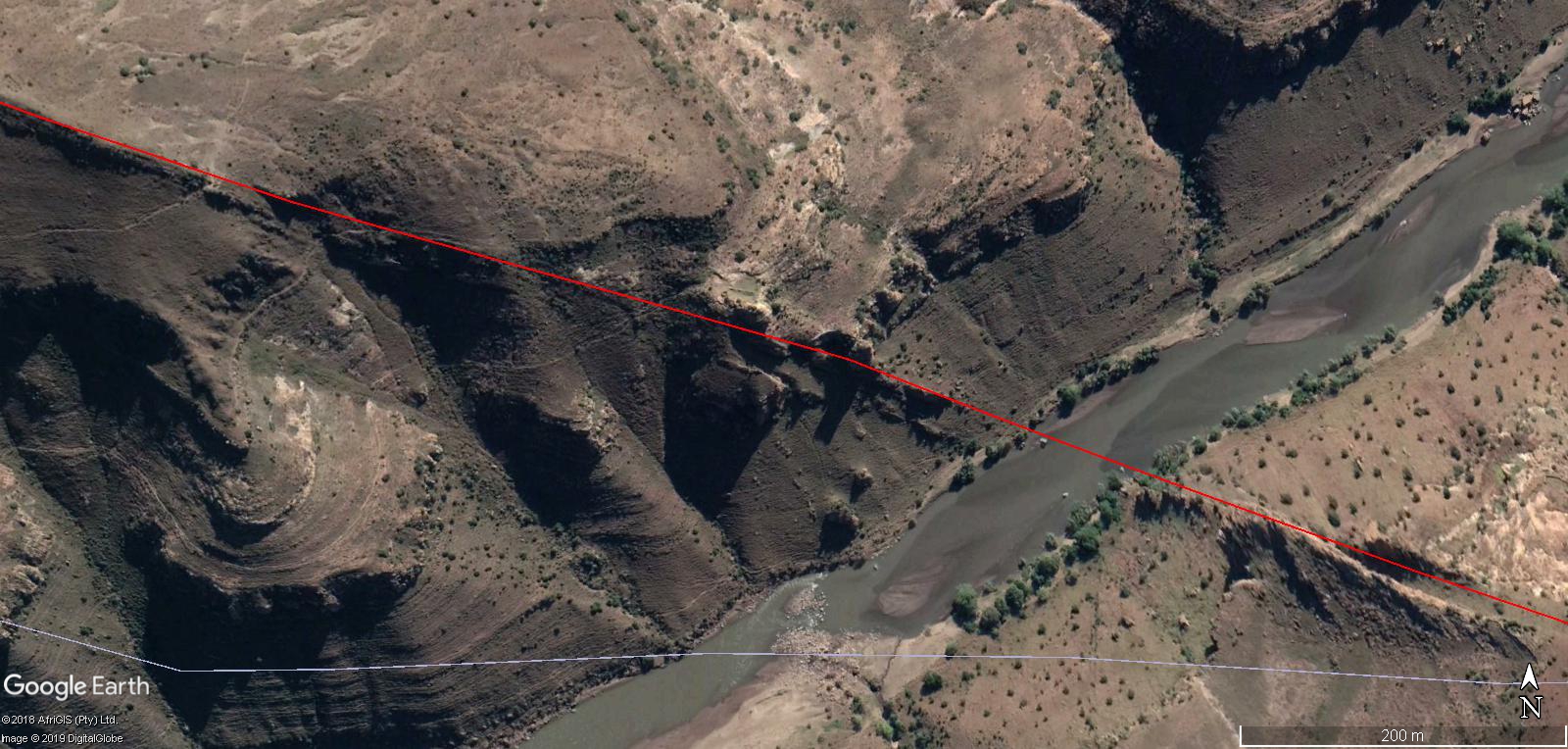
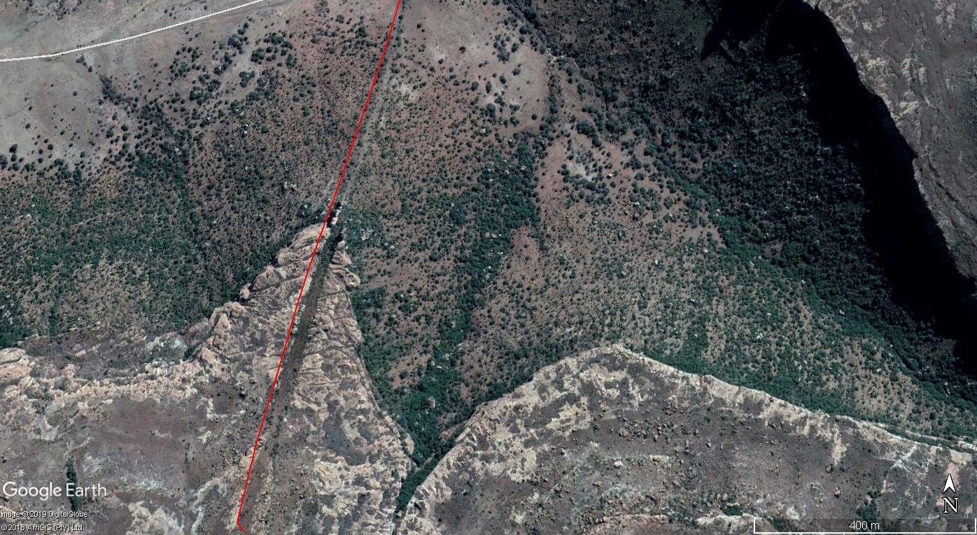
Cuttings 6 : Going from 5 up and over another cliff face then up the other side and across sections where you can clearly see the areas have completely eroded away in time. presented with different view for angle shot.


Stretches across very eroded areas.
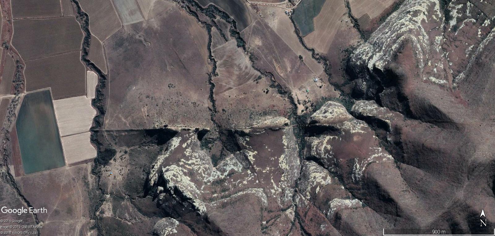
Cuttings 11 : Pure demonstration of cutting through very rocky areas without a worry to difficulty of terrain.


Cuttings 13 : Ridiculous steep angles to climb and create making this cutting across this area of land.


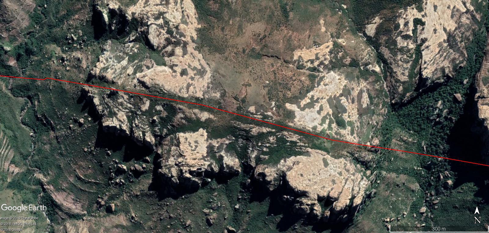


Cutting 14 : Small Cuttings but chosen just to show cutting through rocky area.


Cutting 19 : The erosion is obverses in some areas where they made the Cuttings across the land.
Cutting 22 : Another Pathway “Cutting” , that shows immense work in very steep weird angles at times , through very rocky areas, as well as over areas that are fully eroded away.


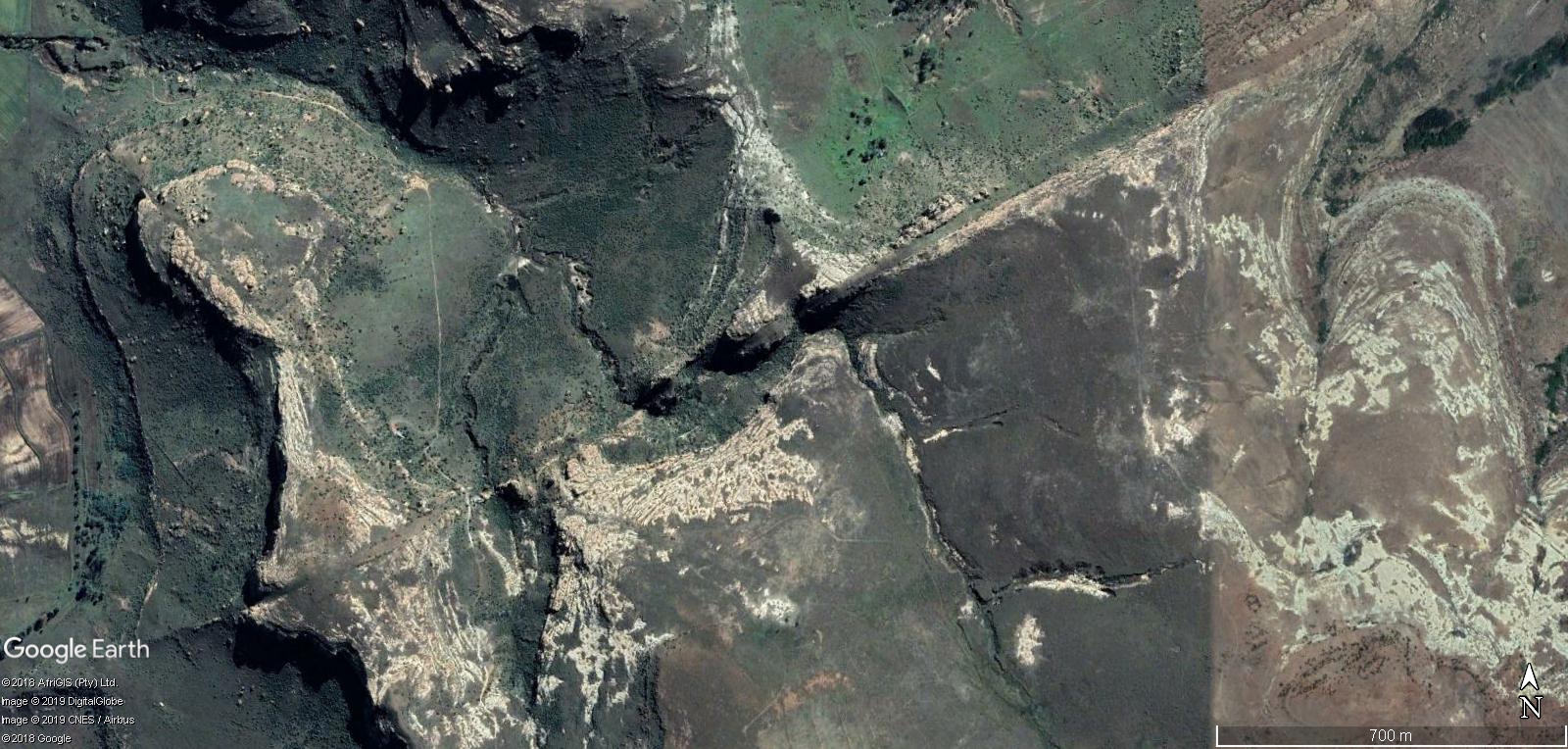
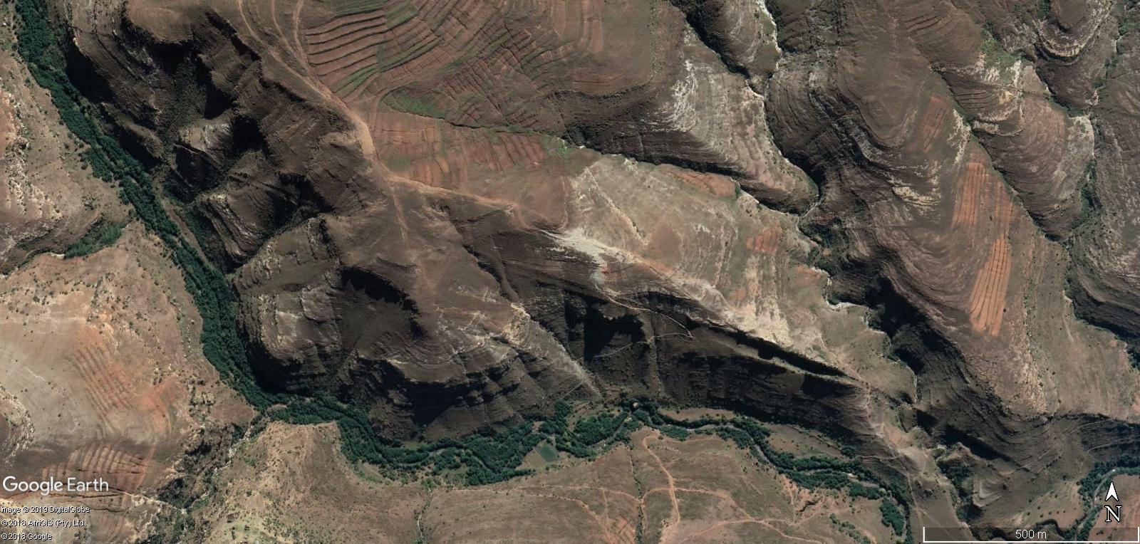
Cutting 25 : Huge work shown through vast rocky areas, where they could have easily cut around the rocky terrain instead, but they stick to what was planed. Unnecessary cutting and development of land on scales we would not do these days , we would go around. Also shows ridge with cuttings.


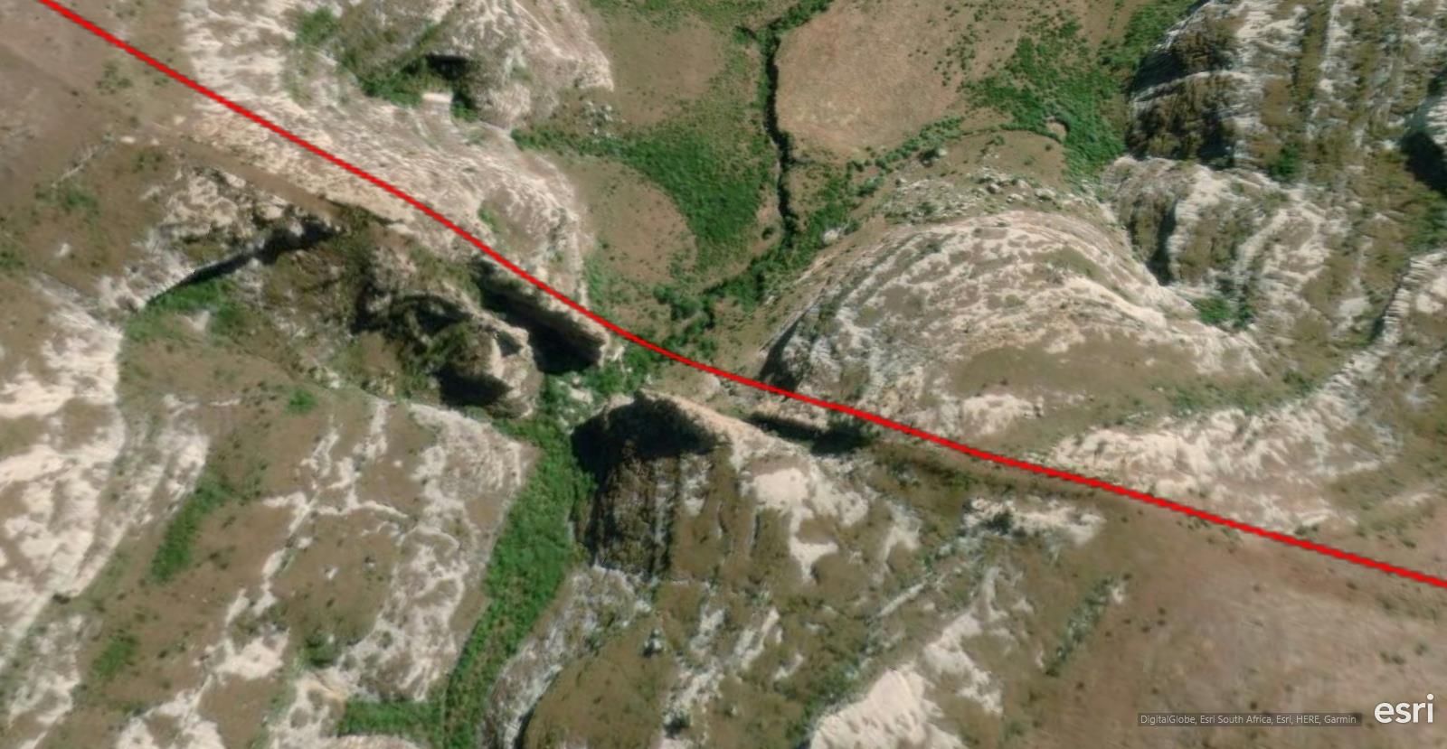
Cuttings 26 : Great edge slicing of the rocky areas being worked upon. Very eroded away from further work in area.


Cuttings 27 : A fantastic area , where the Pathway “Cuttings’ have in time basically created the entire ridge to be seen , and along its creation you can see its age due to erosion of area worked .


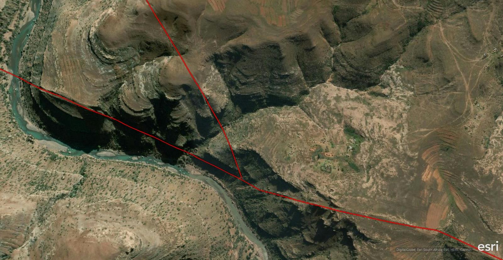
Cuttings 28 : Here you again get to see that this Pathway stretches across many areas with a river running within area being worked and the pathway is still worked upon as if not even there.


Cuttings 30 : Showing for the examples of just cutting through very rocky areas again.


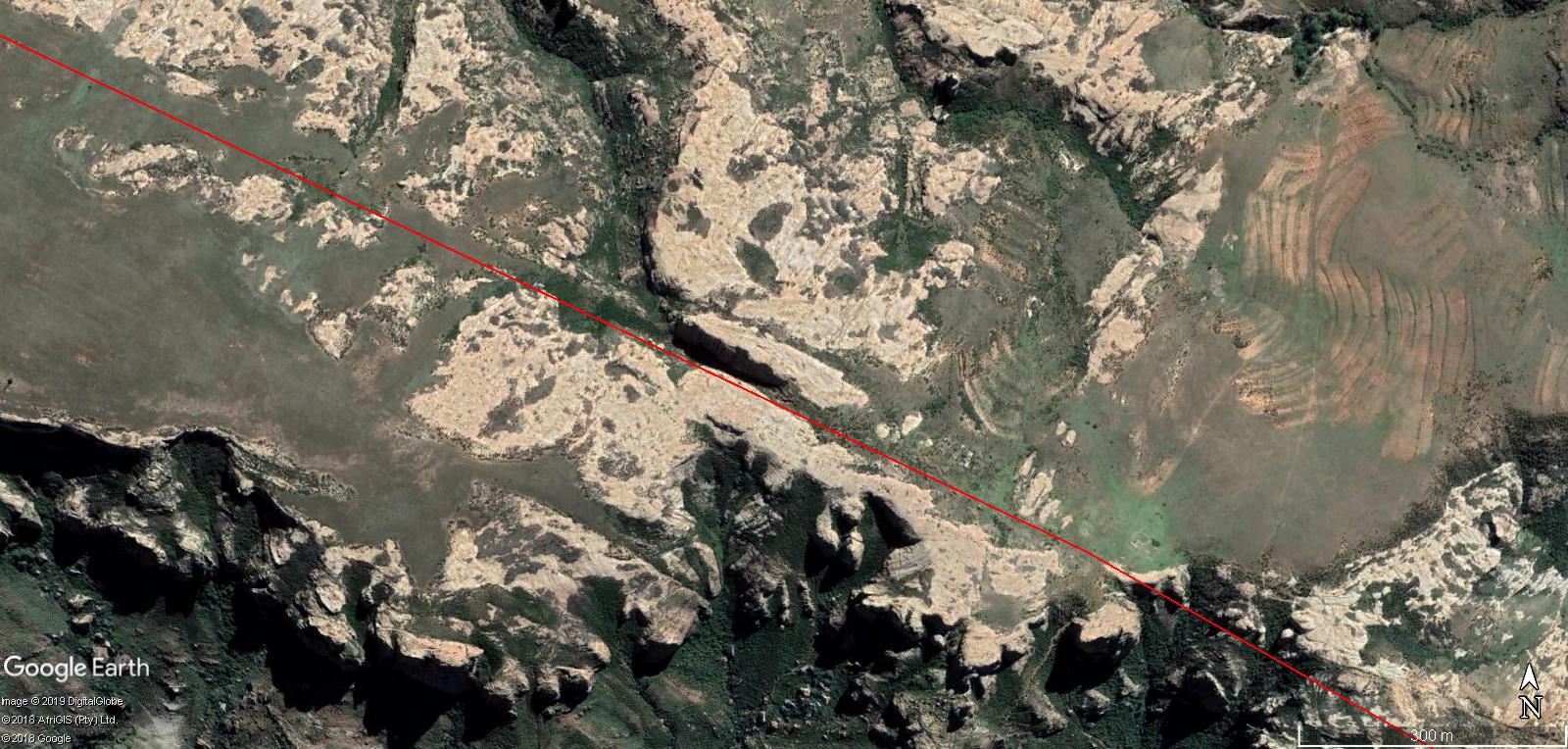
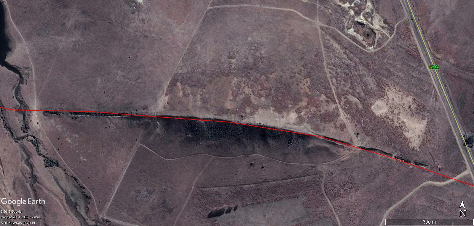
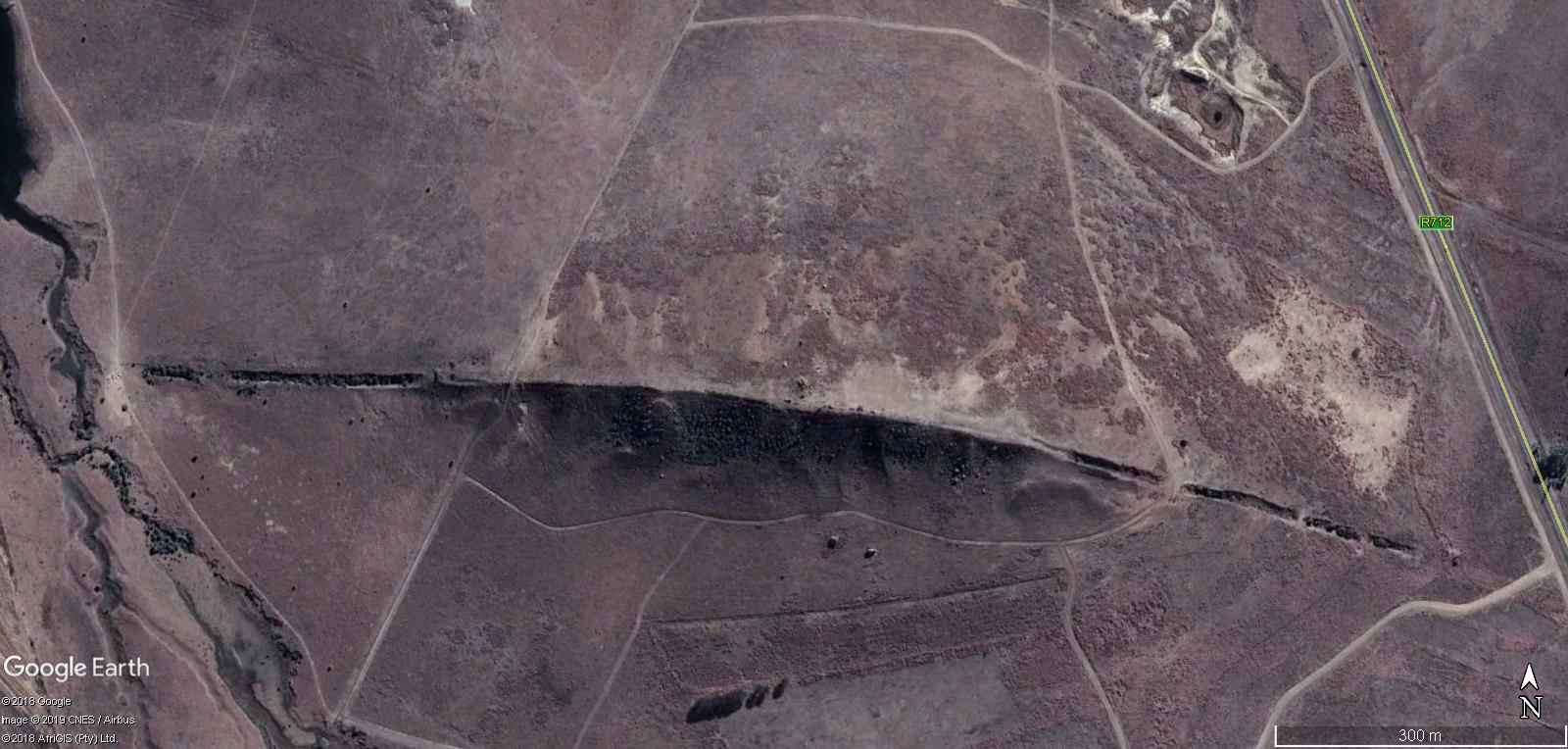
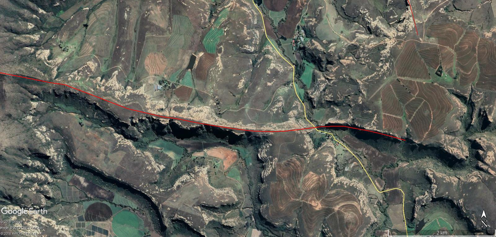
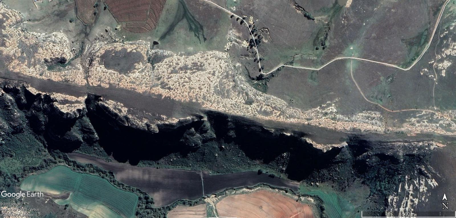
Cuttings 31 : This is the best example of an unnecessary cutting, within the river system , that was most likely done to just expand river in long run. It also because of whatever they used to work area , and it does not cut all the time , it will just leaves a ridge where it was being worked in past. You can see this in many areas where it does not cut but compress instead because of how hard it was in area or something.


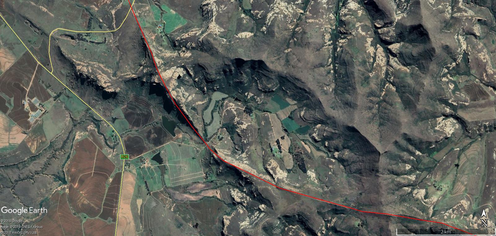
Cutting 32 : Another great example of incredible hard Pathway “Cutting” , that goes over areas that are very eroded away by time.


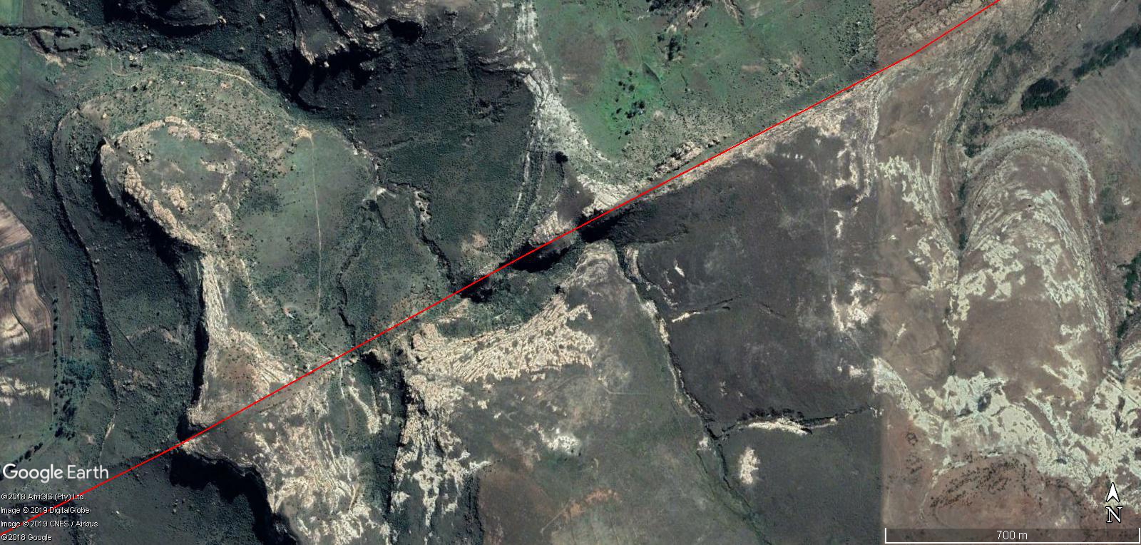
Cutting 25 : Added after published because it presents once again great area of rock cutting in image.

As you can clearly tell from the many examples I can show within The Kingdom of Lesotho, South Africa and surrounding areas , that an incredible amount of work was done upon the land to an extent that which we have not seen the likes of ancients times , the Ancient Builders of Africa did try to accomplish a lot of land development in the past that we are not fully understanding in the present.
I will be covering this on many levels around the world that show this style of work done, but in a slightly less obvious way. This post is needed to explain so much more that was done to the land worldwide .
Thanks for visiting , I hope it informs. So much more to come.
